SCRCA Maps and Data
Datasets Available for Download via Open Data License (coming soon)

|
Map and Data Portal |

ABOUT
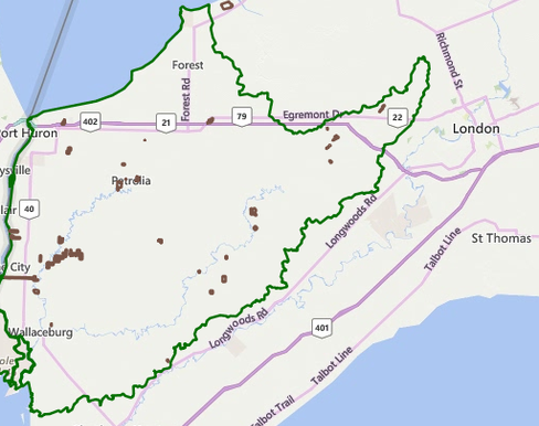
SCRCA's interactive mapping application allows you to search, display, and discover spatial information across the St. Clair Region watershed. This application can be used to view regulation limits, overlay environmental information, view policy areas and jurisdictions, and much more.
Use of this application indicates that you have read, understand, and agree to the terms as outlined in this application and SCRCA's Mapping Applications Terms of Use.
TERMS OF USE
Information made available on this site is not intended to constitute advice nor replace that of a qualified professional. The St. Clair Region Conservation Authority takes no responsibility for, nor guarantees, the accuracy, currency, or completeness of the information contained on the map. Subject to change without notice.
All maps generated from the site are subject to Copyright and are not to be altered in any way. Additional terms are outlined in SCRCA's Mapping Applications Terms of Use.